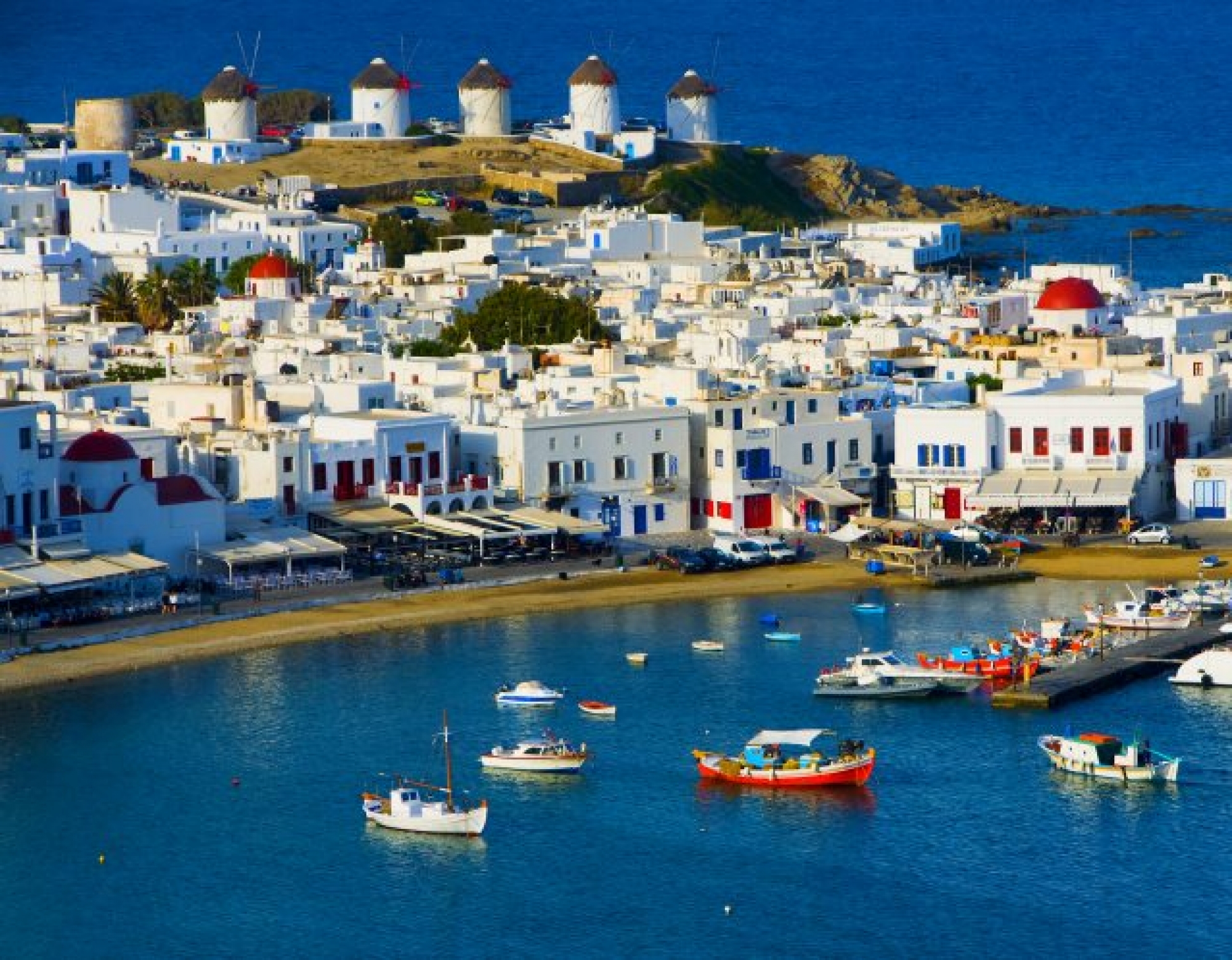
Mykonos is probably the most known Aegean island, belonging to Cyclades. It is a top tourist destination for vacations and that is exactly how the 10.000 residents of the island multiply each summer. Mykonos stretches out to 86.125km2 and the length of its seashore is more than 80 km. Chora is the capital of the island, located in its west side, while the islands Delos and Rinia are under its administration. Tourism in Mykonos had already flourished from the mid 20th century (and quite rapidly we may say), luring millions of visitors on the island, with top celebrities and figures among them.
From Mykonos you can see the island of Tinos to the north, Syros to the west, Paros and Naxos to the south and the island of Ikaria in the very east. Mykonos has an almost triangular shape, with a maximum length of about 14 km and a width of 10. The seashores shape gulfs that penetrate deep into the shore, with most important those in Chora, Panormos and Ornos. The island has mostly hills and granite is the dominant rock. The terrain is rugged, rocky and slightly smooth while the morphology of the island is mountainous or hilly. The highest peaks of the island are Prophet Elias in Ano Mera (341m.) and the two adjacent peaks, Vardies (372m.) and the second Prophet Elias (386m.) in the north of Chora.
The climate is temperate Mediterranean with the characteristic Cycladic winds that make their appearance especially in July and August. In the past, residents were intensively involved in agriculture, livestock and fisheries, something also carried out today, even though in a lesser extent due to the immense focus on tourism.


